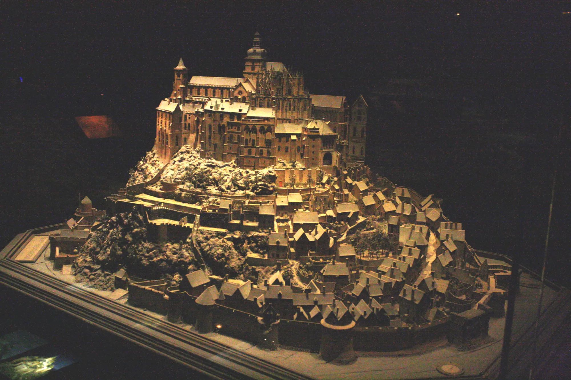
Mont-Saint-Michel (Normandy).
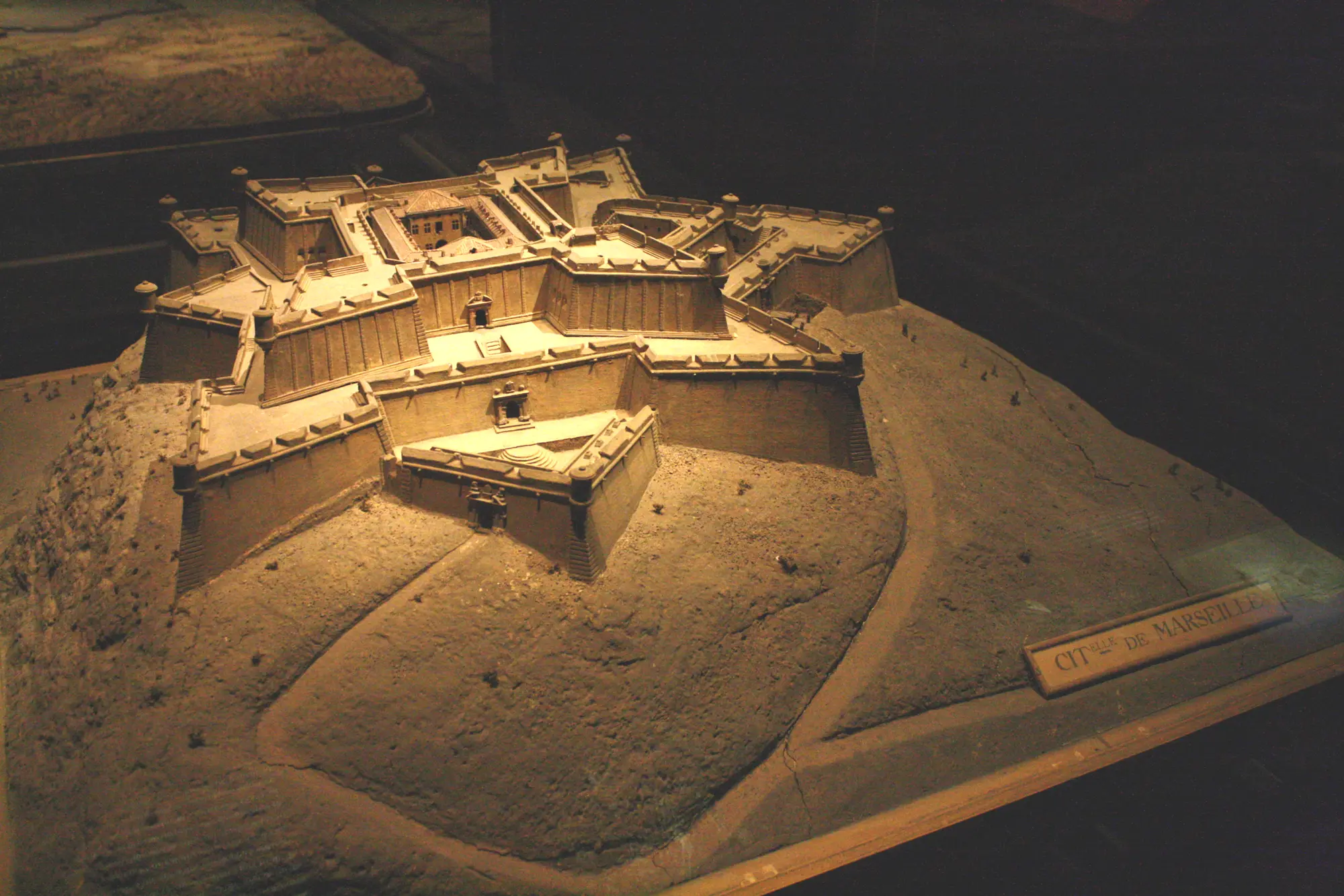
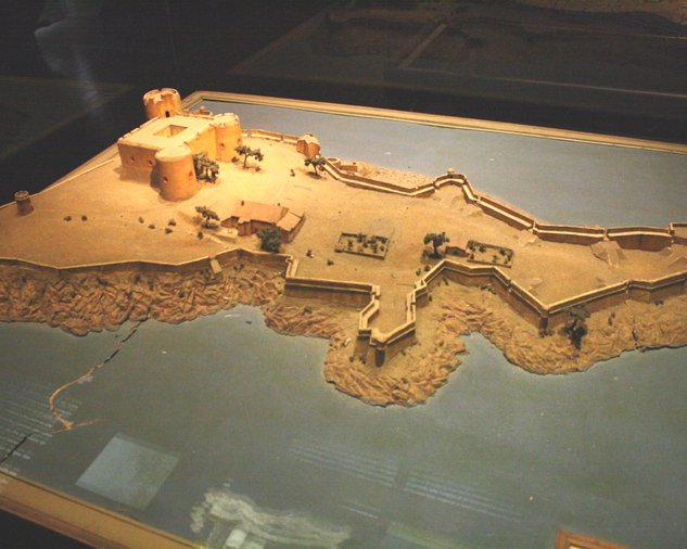
Fort Saint-Nicolas in Marseilles.
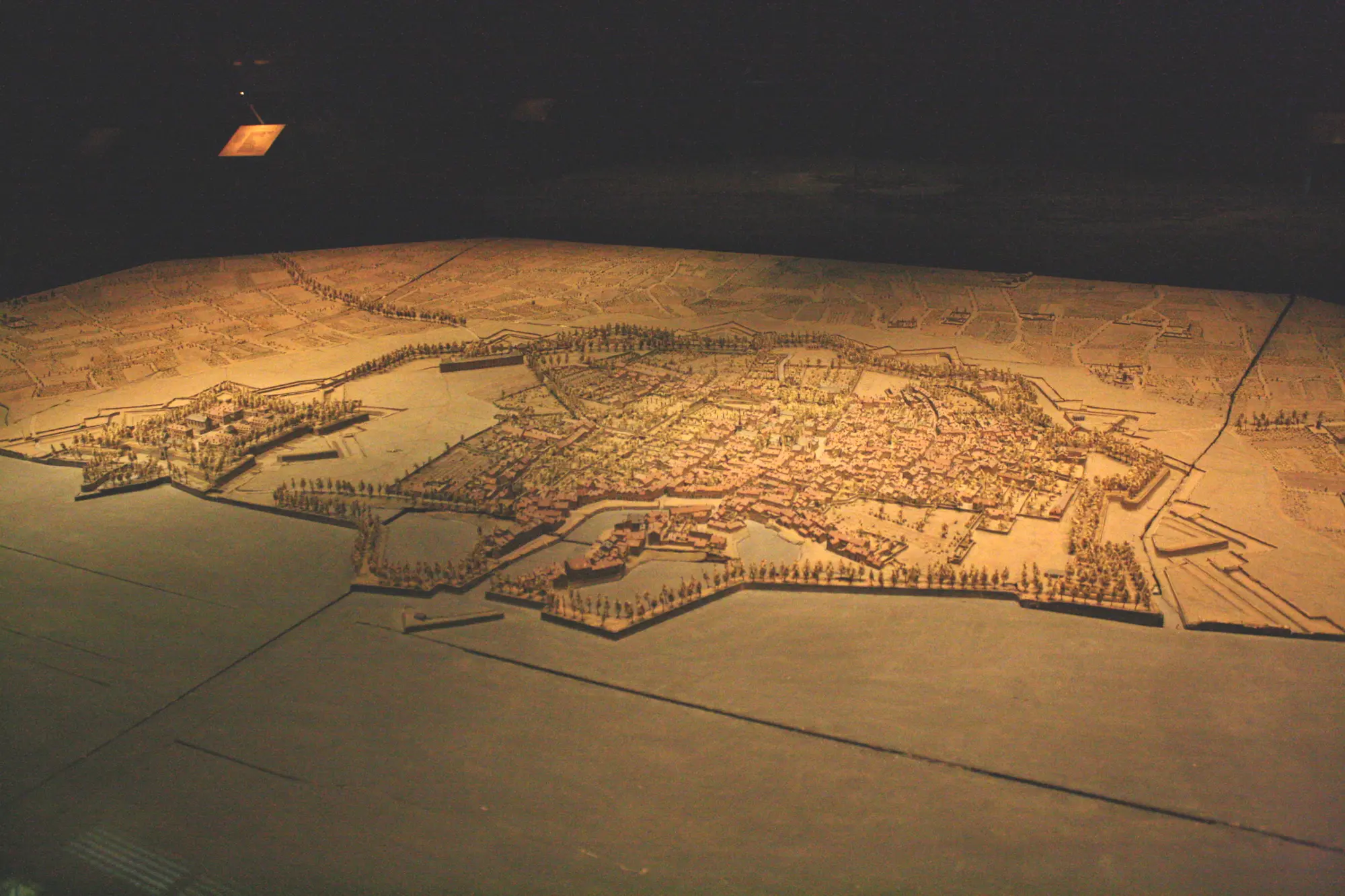
Creating relief maps started in the 16th century and became fashionable under Louis XIV (17th-18th centuries). They were used to monitor or plan fortification…
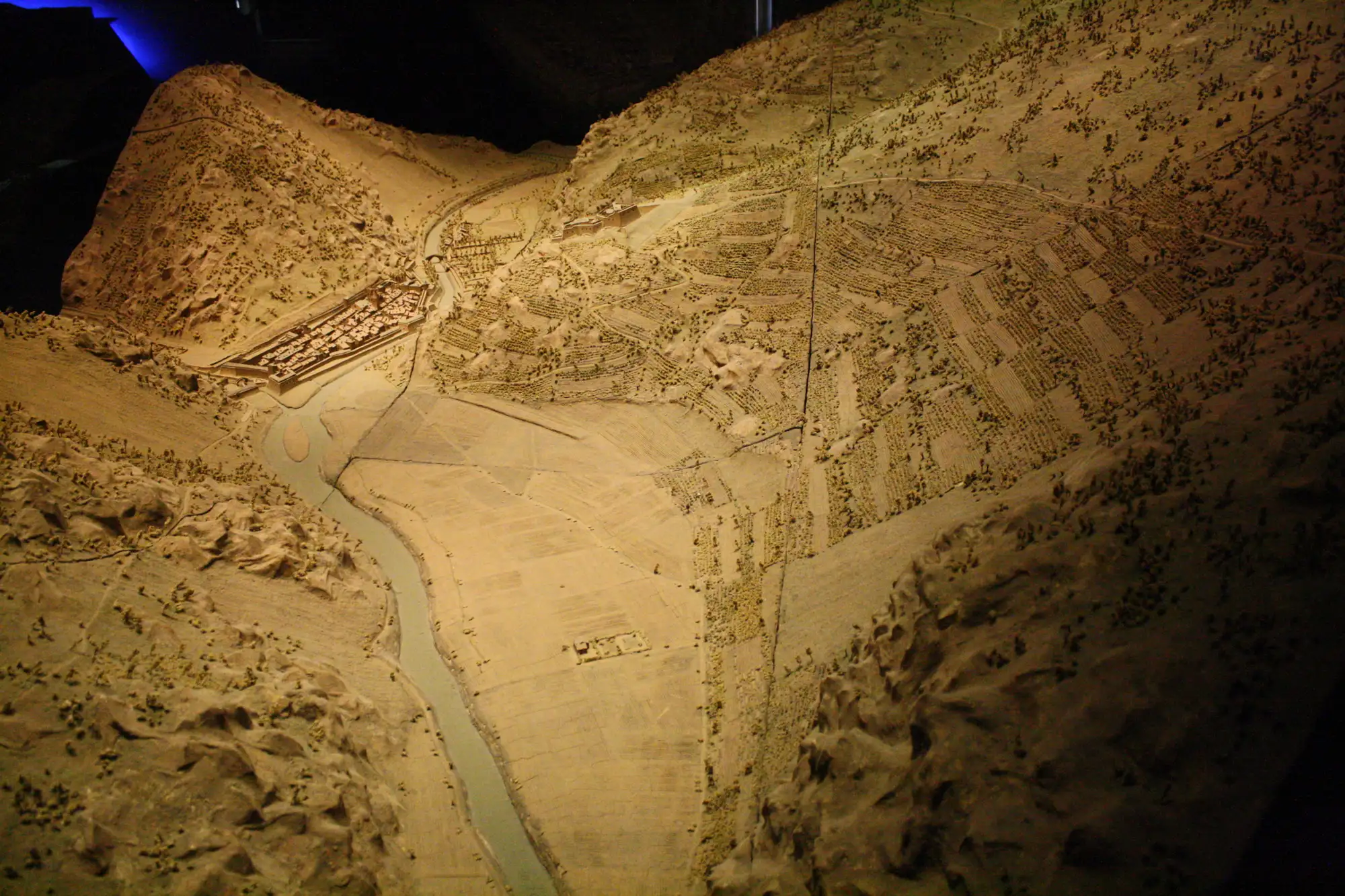
Villefranche-de-Conflent, in the Pyrenees. The fortifications have not changed in the past 350 years.
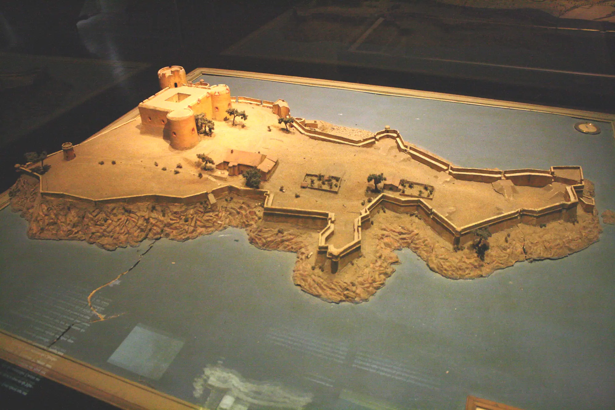
If castle, off Marseilles. This is where the Count of Monte-Cristo was jailed in Alexandre Dumas' famous novel.
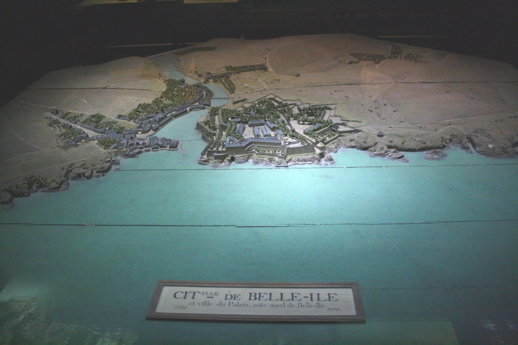
Belle-Ile, in Brittany.